Wallingford (Vermont)
Wallingford
| Pays | |
|---|---|
| État | |
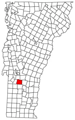
| Comté | |
| Superficie |
112,41 km2 |
| Altitude |
510 m |
| Coordonnées |
43° 27′ 28″ N, 72° 56′ 49″ O |

| Population |
2 129 hab. () |
|---|---|
| Densité |
18,9 hab./km2 () |
| Statut |
Town de Nouvelle-Angleterre (en) |
|---|
| Code postal |
05773 |
|---|---|
| Code FIPS |
50-75925 |
| GNIS | |
| Indicatif téléphonique |
802 |
| Site web |
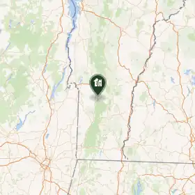
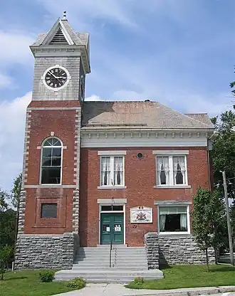
Wallingford est une ville du comté de Rutland, dans le Vermont aux États-Unis.
Démographie
| Historique des recensements | |||
| Année | Pop. | %± | |
|---|---|---|---|
| 1790 | 536 | — | |
| 1800 | 912 | ▲ +70,15 % | |
| 1810 | 1 386 | ▲ +51,97 % | |
| 1820 | 1 570 | ▲ +13,28 % | |
| 1830 | 1 740 | ▲ +10,83 % | |
| 1840 | 1 608 | ▼ −7,59 % | |
| 1850 | 1 688 | ▲ +4,98 % | |
| 1860 | 1 747 | ▲ +3,5 % | |
| 1870 | 2 023 | ▲ +15,8 % | |
| 1880 | 1 846 | ▼ −8,75 % | |
| 1890 | 1 733 | ▼ −6,12 % | |
| 1900 | 1 575 | ▼ −9,12 % | |
| 1910 | 1 719 | ▲ +9,14 % | |
| 1920 | 1 581 | ▼ −8,03 % | |
| 1930 | 1 564 | ▼ −1,08 % | |
| 1940 | 1 450 | ▼ −7,29 % | |
| 1950 | 1 482 | ▲ +2,21 % | |
| 1960 | 1 439 | ▼ −2,9 % | |
| 1970 | 1 676 | ▲ +16,47 % | |
| 1980 | 1 893 | ▲ +12,95 % | |
| 1990 | 2 184 | ▲ +15,37 % | |
| 2000 | 2 274 | ▲ +4,12 % | |
| 2010 | 2 079 | ▼ −8,58 % | |
| Est. 2014 | 2 041 | ||

Liens externes
- (en) Site officiel
- Ressource relative à la géographie :
- Ressource relative à la musique :
 Portail du Vermont