Litchfield (Illinois)
Litchfield
| Pays | |
|---|---|
| État | |
| Comté | |
| Superficie |
17,67 km2 () |
| Surface en eau |
5,5 % |
| Altitude |
211 m |
| Coordonnées |
39° 10′ 36″ N, 89° 39′ 13″ O |


| Population |
6 605 hab. () |
|---|---|
| Densité |
373,8 hab./km2 () |
| Statut | |
|---|---|
| Chef de l'exécutif |
Steve Dougherty (d) () |
| Fondation |
|---|
| Code postal |
62056 |
|---|---|
| Code FIPS |
17-43965 |
| GNIS | |
| TGN | |
| Site web |
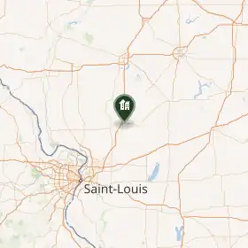
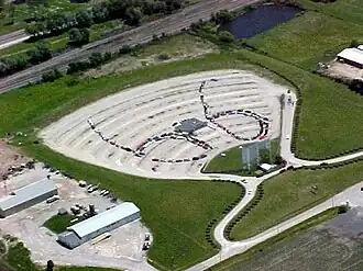
Litchfield est une ville de l'Illinois, dans le comté de Montgomery, aux États-Unis, sur l'historique Route 66.
Démographie
| Historique des recensements | |||
| Année | Pop. | %± | |
|---|---|---|---|
| 1860 | 1 609 | — | |
| 1870 | 3 852 | ▲ +139,4 % | |
| 1880 | 4 326 | ▲ +12,31 % | |
| 1890 | 5 811 | ▲ +34,33 % | |
| 1900 | 5 918 | ▲ +1,84 % | |
| 1910 | 5 971 | ▲ +0,9 % | |
| 1920 | 6 215 | ▲ +4,09 % | |
| 1930 | 6 612 | ▲ +6,39 % | |
| 1940 | 7 048 | ▲ +6,59 % | |
| 1950 | 7 208 | ▲ +2,27 % | |
| 1960 | 7 330 | ▲ +1,69 % | |
| 1970 | 7 190 | ▼ −1,91 % | |
| 1980 | 7 204 | ▲ +0,19 % | |
| 1990 | 6 883 | ▼ −4,46 % | |
| 2000 | 6 815 | ▼ −0,99 % | |
| 2010 | 6 939 | ▲ +1,82 % | |
Liens externes
- Ressource relative à la géographie :
 Portail de l’Illinois